 vesseltracker.com
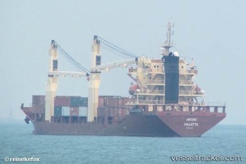
Vessel MERATUS PARIAMAN IMO: 9371957, MMSI: 525125023 General Cargo Ship
UTC, -6.02333, 118.26667, course: -1, speed: 7
UTC, -6.05500, 117.95333, course: -1, speed: 8
2026-03-01 12:26:25 UTC, -6.08598, 117.65436, course: -1, speed: 8.1
Live AIS position:
UTC. 115 nm NE of Pagerungan),
updated 2026-03-01 12:26:25 UTC.
Find the position of the vessel MERATUS PARIAMAN on the map. The latter are known coordinates and path.
marine traffic ship tracker show on live map
The current position of vessel MERATUS PARIAMAN is -6.08598 lat / 117.65436 lng. Updated: 2026-03-01 12:26:25 UTCCurrently sailing under the flag of Indonesia
MERATUS PARIAMAN built in 2007 year
Deadweight:
7699 tDetails:
Last coordinates of the vessel:
UTC, -5.99672, 118.51084, course: -1, speed: 8.5UTC, -6.02333, 118.26667, course: -1, speed: 7
UTC, -6.05500, 117.95333, course: -1, speed: 8
2026-03-01 12:26:25 UTC, -6.08598, 117.65436, course: -1, speed: 8.1